news
Five Metro Stations Connect Canal Saint-Martin's 4.5 Kilometers
Public transit figures list specific stations, lines and schedules for the 4.5-kilometer waterway in the 10th and 11th arrondissements.
How we reported this
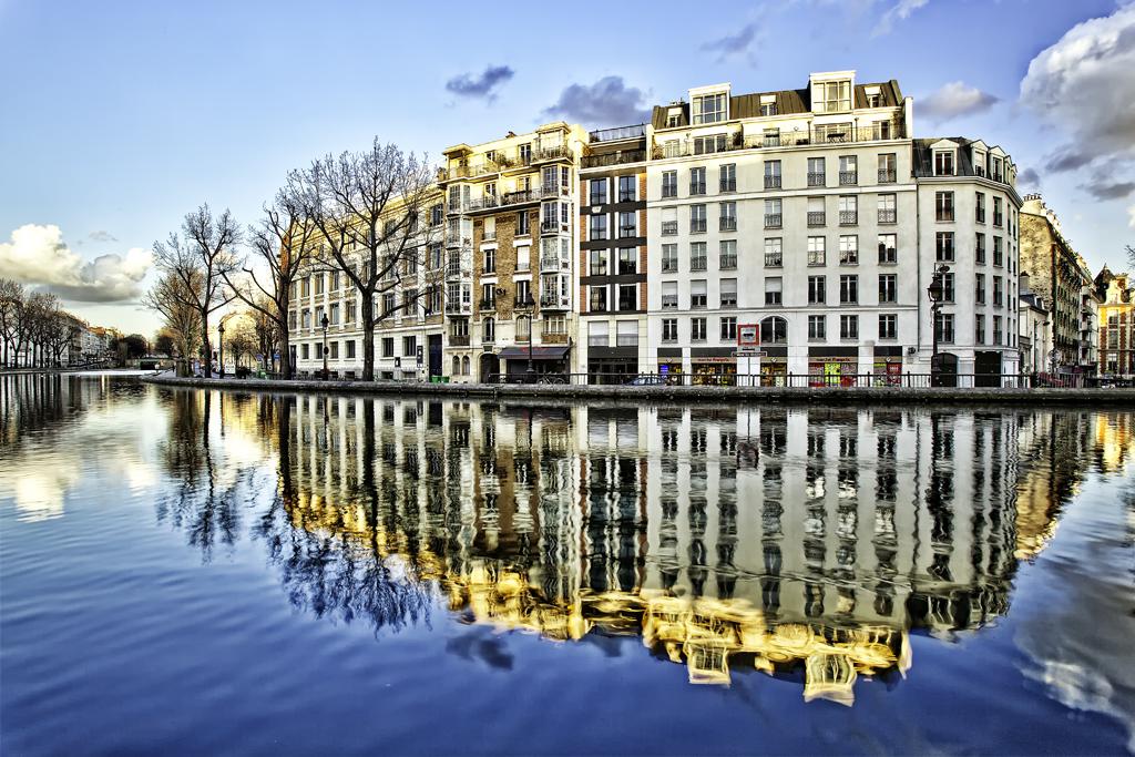
Five metro stations and two bus lines form the core of daily access to the Canal Saint-Martin, according to transport data compiled by Moovit and Parisjetaime. The stations are Jacques Bonsergent on Line 5, République on Lines 3, 5, 8, 9 and 11, and Goncourt on Line 11. Buses 46 and 75 run along the surface routes serving the same stretch.
Operating windows and traffic rules
Public transport runs from 5:30 AM to 1:15 AM on weekdays, with reduced service on weekends. Roads on both sides of the canal close to motor traffic every Sunday and public holiday under the Paris Respire program. These closures apply directly to the waterside carriageways in the 10th and 11th arrondissements.
The canal itself measures 4.5 kilometers and limits pleasure craft and tour boats to 6 km/h. Navigation data from French Waterways and Visit Paris records this speed restriction along the entire length between the locks and swing bridges.
Why the figures matter for local movement
Residents and visitors rely on these exact connections because the neighborhood sits between République and the smaller stations that feed foot traffic to the waterside paths. The combination of five metro stops and two bus lines creates overlapping coverage that keeps the area connected without private vehicles on closure days. Boat operators must observe the 6 km/h cap to maintain safe passage past the nine locks completed in 1825.
Travelers can plan arrivals around the weekday window that starts at 5:30 AM and ends at 1:15 AM. On Sundays the Paris Respire closures shift movement to the metro stations and bus routes already listed. The same stations also serve the independent shops and bars that line the canal banks in both arrondissements.